Testerep, once an island on the North Sea coast until the late Middle Ages, is now submerged. Landscape archaeologist Soetkin Vervust, working with a multidisciplinary team, is researching the lost island. How could it disappear? And what lessons can we learn for the future, as the sea level continues to rise? The public will find out from 21 December at the Testerep exhibition in the Venetian Galleries in Ostend. "The area behind the dikes has become a bathtub."
When you tell people that you're researching the sunken island of Testerep, do they know what you're talking about?
"People who live by the coast usually recognise it. Outside of that, I find that most people don’t know that the place names Westende, Middelkerke, and Ostend are linked to the fact that they were all once on an island. 'Really?' they say, surprised. 'Interesting!' It's always a good way to start the conversation. Testerep sparks the imagination. That’s actually why we chose this case study. Our research on Testerep is part of a larger project by the FWO about how our coastline has evolved over the last 5,000 years. What landscape changes have occurred? And what factors caused those changes? We were looking for a good story, and Testerep was ideal. I mean, a sunken island with lost settlements... that appeals to people, even the FWO reviewers who decided to fund the project. (laughs)"
A fascinating story is one thing, but did this case study also have enough substance for research into the evolution of the coastline?
"Certainly. All the major landscape changes our coast has undergone over the centuries have left their marks. For most of its history, our coastline was a dynamic landscape of mudflats, salt marshes, and shifting tidal channels—something you only have today in the Zwin. In the central coast, there was a tidal channel running roughly parallel to the coastline, which created an elongated strip of land in the form of an island. This strip was known as 'Testerep' in the Middle Ages. It was during that time that people began to use the wet, natural landscape more intensively for agriculture. Over time, they started building dikes around the tidal channel, eventually damming it off completely. As a result, the channel became silted up—today you can recognise it as a lower-lying area in the polders—and Testerep was no longer an island but part of the mainland. Meanwhile, a large part of the seaward side of the island has disappeared under the waves over the centuries. This means there are both above-ground and underground traces, both at sea and on land. Thanks to this, we get data from marine geologists at the Flemish Institute for the Sea as well as from us as archaeologists. In other words, we can gather twice as much information."

Regarding the reason for the coastline moving inland and the island disappearing, several theories exist. There was the great Saint Vincent Storm of 1394, but the rising sea level and the damming of the tidal channel would also have played a role... Has your research brought any new insights?
"We are now at that stage. Based on the data we've gathered on land and at sea, we've created reconstruction maps for different time periods. 4,000 years ago, our coastline was a freshwater peat bog, 2,000 years ago the sea had taken over the landscape through large tidal channels, and 1,000 years ago, the land reclamation began, and we saw the coastline gradually moving inland over the centuries. Now we want to determine the factors that caused these major changes. By applying the computational models of hydraulic engineers at KU Leuven to our reconstruction maps, we hope to make reliable long-term predictions about the past—hindcasting, as it's called. For example, 2,000 years ago we were at point A, 1,000 years later at point B. How did we move from one point to the other? Is this just due to tidal and wave actions? What if we simulate (heavy) storms or human impacts, such as land lowering through peat extraction or closing off channels with dikes? We then want to look at how we can use this knowledge of long-term sediment transport processes along the coast to contribute to building sustainable coastal protection for the future. The maps and models are ready, and we are currently conducting the first tests. Our research runs until the end of 2025, and I hope to provide the final answers by then."
Are there any assumptions that you expect to find out more about?
"Throughout history, there have always been storms, and the rise in sea level has been relatively constant and slow until the twentieth century. Whether these factors have more or less impact depends, in our view, largely on human interventions and choices made in the past. Since the late Middle Ages, we have tried to impose order on the naturally dynamic coastal landscape by building dikes and damming tidal channels. Since then, this has meant that the sea no longer deposits sediment, the land no longer rises, and the polders have become dangerously low, making them vulnerable to flooding from both the sea and inland. The dunes have also been heavily exploited and degraded. If you settle right on the coastline, you put yourself in a vulnerable position. We saw this with Testerep."
It also sounds like an ominous warning for today.
"That's true. The situation today is very precarious, with our coastline increasingly built up since the rise of tourism. The area behind the dikes has become a bathtub. If the dikes were to break, we would find ourselves in a very dangerous situation. We need coastal protection, but not in the form of a hard sea wall. In the long term, that's not sustainable. Especially when you consider that the sea level along our coast rose by only seven centimetres per century over the last 5,000 years, whereas most models predict a rise of one metre by the end of this century due to climate change. Other measures will be needed."
Is this issue specific to the Belgian coast, or is it a wider phenomenon around the North Sea?
"Land reclamation, subsidence, and the lowering of the hinterland have occurred along almost all of the North Sea coasts, from France to Denmark. We're all facing the same issues. In addition to coordinating the Testerep project, I have my own senior postdoc project. For that, I am researching early diking in northern Germany and Denmark."
What can you offer stakeholders like the city of Ostend or the municipality of Middelkerke?
"An FWO Strategic Basic Research (SBO) project must always have a societal outcome. That's how the idea arose to use the Testerep story to raise awareness about the need for measures. Today, efforts are being made to encourage the regrowth of dunes for our dikes."
What will be on display at the exhibition?
"The exhibition focuses on the story of Ostend and will show how the current Ostend is actually a second version of the city, after the earlier medieval town was washed away by the sea."
Bio Soetkin Vervust
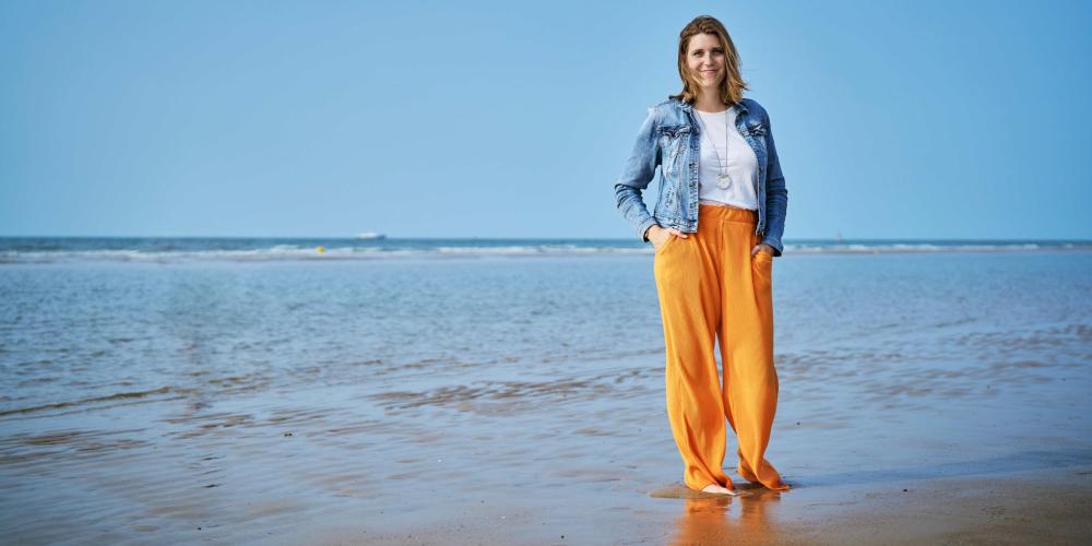
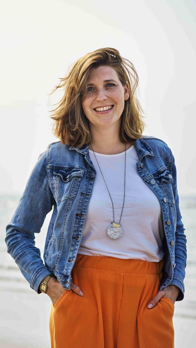
Soetkin Vervust is a landscape archaeologist and a postdoctoral researcher at the Vrije Universiteit Brussel (VUB). She coordinates the Testerep project, which investigates how our coastline has changed over the past 5,000 years.

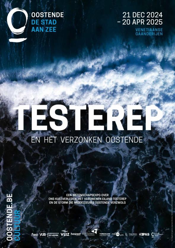
Expo: Testerep and the sunken Ostend | 21 december 2024 until 20 april 2025
Travel through time with the archaeologists of VUB
Thanks to the groundbreaking work of researchers from the Vrije Universiteit Brussel, medieval Ostend is coming back to life in a way you've never seen before.
Using advanced techniques such as innovative seabed scans and historical 3D reconstructions, VUB scientists have put the mysterious island of Testerep back on the map.
Come and discover how their dedication and scientific insights unravel the past, inspiring us to better understand the future. From archaeological discoveries to digital storytelling — this exhibition brings science to life!
Do you also want to dig into the past? Are you eager to explore the role of water in the human environment?
Discover our study programmes in Dutch:
ARCHEOLOGIE GESCHIEDENIS GEOGRAFIE
Discover our study programmes in English:
MARINE AND LACUSTRINE SCIENCE AND MANAGEMENT SUSTAINABLE LAND MANAGEMENT WATER RESOURCES ENGINEERING
The world needs you
This initiative is part of VUB's public programme, a programme for everyone who believes that scientific knowledge, critical thinking and dialogue are an important first step to create impact in the world.
As an Urban Engaged University, VUB aims to be a driver of change in the world. With our academic edcuational programmes and innovative research, we contribute to the Sustainable Development Goals of the United Nations and to making a difference locally and globally.

